Brisbane Rain Radar: Storm Tracking Guide
Quick summary
The Brisbane radar covers Moreton Bay, the Gold Coast, Sunshine Coast and up to 250km offshore on the 512km sweep.
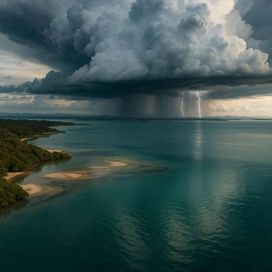
SE Queensland's afternoon storm season runs November through March, with cells capable of 60+ knot gusts reaching the bay with minimal warning.
What to watch for
Red cores developing over the D'Aguilar Range between 1pm and 4pm in summer are heading your way — track their movement over 3-4 radar frames before committing to an afternoon trip.
Moreton Bay is one of Australia's busiest recreational boating areas, and its geography creates a radar picture you need to understand before launching.
Two radar installations cover the region: the Mt Stapylton site south of Brisbane and the Gympie installation to the north.
Mt Stapylton vs Gympie: which to use
Mt Stapylton provides the primary coverage for Moreton Bay, the Gold Coast and the Sunshine Coast to about Noosa on the 128km sweep.
Gympie fills the northern gap, covering the Sunshine Coast hinterland and extending toward Bundaberg — useful for tracking systems that originate in central Queensland and move southeast.
For most Moreton Bay trips, Mt Stapylton gives the most relevant picture.
S
E Queensland's storm season radar patterns
Between November and March, afternoon sea-breeze convergence over the ranges produces convective cells that can reach severe intensity within 30-45 minutes.
Watch the D'Aguilar and Blackall ranges from midday — radar returns building here after 12pm often reach the bay by 2-3pm.
"The typical summer storm track is west-to-east, but convergence zones can stall cells directly over the bay for 30+ minutes of continuous heavy rain and 50-knot gusts."
By contrast, winter cold fronts arrive as organised line echoes tracking from the southwest — slower, more predictable, and easier to time on radar.
Moreton Bay hazard zones on radar
The southern bay around Redland Bay and Macleay Island sits in a zone where storm cells from the south coast corridor (Gold Coast hinterland) converge with bay thermals.
The northern bay around Bribie Island and Pumicestone Passage gets earlier warning as cells track down from the Sunshine Coast direction.
Open water outside North Stradbroke has no shelter — if the 512km loop shows a front 300km east-southeast, check the wind forecast to confirm its timing before planning a next-day offshore trip.
Practical use on the water
Check the 128km loop at the boat ramp and again when fuelling up — two 10-minute observations 30 minutes apart give you a reliable storm track.
Run at least 6 frames to establish cell movement direction before making a go/no-go call for afternoon trips in summer.
Cross-check the radar against the Queensland coastal warnings page — severe thunderstorm warnings covering Moreton Bay indicate cells capable of damaging winds regardless of what you see on radar at the moment.
Common questions
Why does the Brisbane radar sometimes show a ring pattern? Range folding or antenna interference occasionally produces concentric ring artefacts — if the pattern is perfectly circular and stationary, it's not rain.
How accurate is timing from radar? For well-organised fronts, 30-minute timing accuracy is achievable; for isolated convective cells, assume a 50% uncertainty on arrival time and plan conservatively.
Track current conditions via the Seabreeze Brisbane rain radar before every bay trip.