Wollongong Weather: Surf and Boating
Quick summary
Wollongong's weather is shaped by the Illawarra escarpment — cold southerlies accelerate as they wrap around the coast, and afternoon thermals off the cliffs produce reliable sea breezes by mid-afternoon.
It receives more rain than Sydney in many months due to orographic uplift when moist easterly airflow hits the escarpment, producing enhanced rainfall on the coastal strip.
The defining feature
The escarpment blocks most westerly winds, meaning Wollongong is often calm in WNW synoptic flow while conditions 100km north or south are breezy.
Wollongong sits on a narrow coastal strip between the Tasman Sea and the Illawarra escarpment, and the escarpment changes everything about how weather behaves here.
The escarpment effect
Westerly and northwesterly winds from inland NSW are blocked and deflected by the escarpment, leaving the coast sheltered when much of the NSW interior is blowing.
Southerlies are a different matter: they track up the open coast from the south with nothing to slow them, and can arrive as strong, gusty winds even when the Sydney forecast looks moderate.
The orographic effect also produces heavy localised rainfall — when east or northeast winds drive moist maritime air into the escarpment, rain totals in Wollongong can be double those recorded in Sydney for the same event.
Southerly busters and timing
Wollongong experiences southerly busters sharply — the narrow beach strip gives little warning before the full force of a southern change arrives.
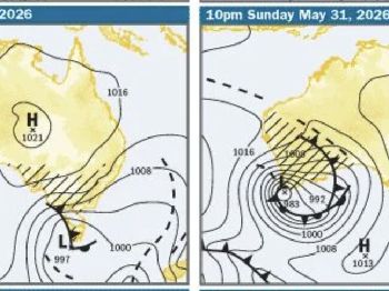
Track southerly changes using the Sydney radar: a buster showing on the 128km loop between Sydney and Wollongong is typically 45-90 minutes from arriving at the Wollongong coast.
"The southerly hits harder in Wollongong than it does in Sydney because there's no bay geometry to break it up — it comes straight off the open ocean."
After a southerly arrives, conditions at the exposed reef and headland spots deteriorate rapidly — plan your return before the change, not during it.
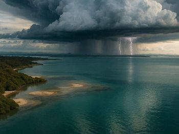
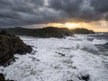
East coast lows
Wollongong is directly in the path of many east coast lows that form just offshore and track southward.
These systems produce persistent northeast to east swell, heavy rainfall and unpredictable wind directions that can make the coast dangerous for multiple consecutive days.
The Wollongong harbour area and Belmore Basin provide the only protected water in these conditions — everything else along the coast is exposed.

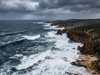
Surf conditions
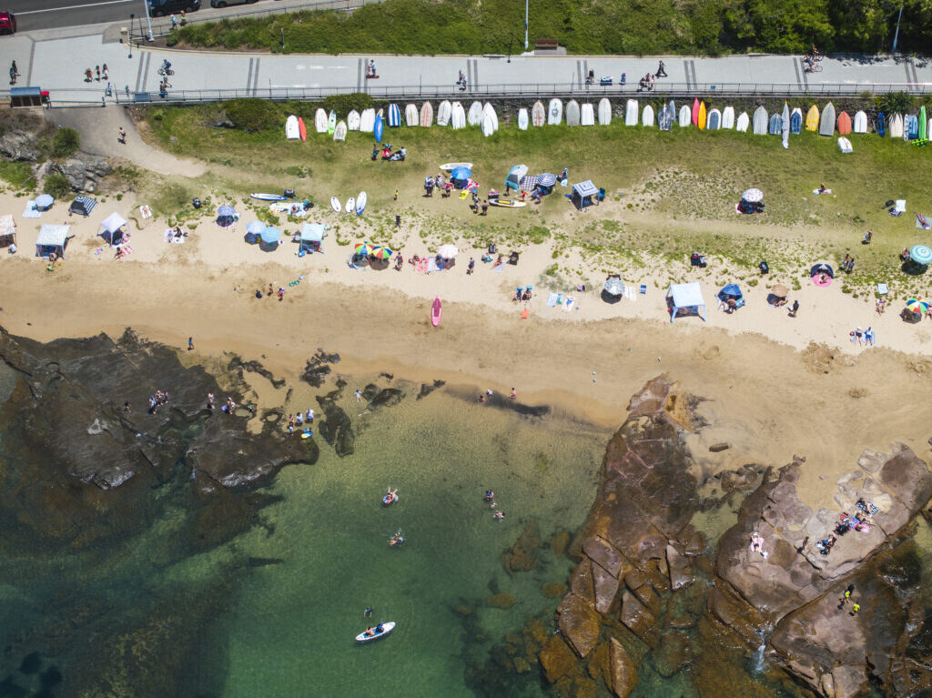
The city's main beaches — North Beach, City Beach and Austinmer — are SE to E facing and pick up the full Southern Ocean swell from the south.
SW swell wraps into City Beach and North Beach; SE swell is cleaner at Austinmer and the more exposed northern beaches.
East coast lows generate heavy, confused swell that closes most breaks; the best surfing windows in Wollongong are typically 2-3 days post-front when swell is still running but winds have gone southerly offshore.
Boating from Wollongong Harbour
Wollongong Harbour is the region's primary launch point, providing reasonable shelter in most conditions except sustained NE-E wind, when swell wraps into the harbour entrance.
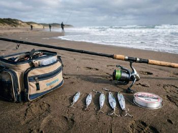
Offshore fishing grounds for snapper, kingie and pelagics lie 15-30km SE — accessible in windows of 10-20 knots from SW to NW with swell under 1.5m.
Check the Seabreeze Wollongong forecast for detailed hourly wind and wave data before any offshore trip.
Common questions
When is the best time to surf Wollongong? Autumn and early winter provide the best combination of swell and offshore winds; the Anzac-to-June window is considered the region's prime surf season.
How does Wollongong weather differ from Sydney? More rain, stronger southerly exposure, better wind protection from westerlies, and more pronounced heating effects near the escarpment that drive afternoon thermals and sea breezes.