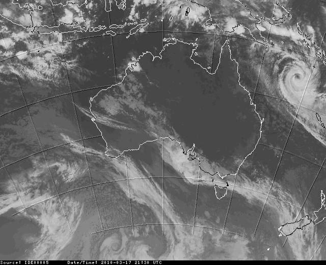


Please have a look at this:
www.goes.noaa.gov/sohemi/sohemiloops/shirgmscol.html
you can see the systems of the two eyes.
A CATEGORY five cyclone is charging across the Coral Sea towards North Queensland.
Tropical cyclone Ului is now southeast of the Solomon Islands after building rapidly from a category three on Saturday to a category five on Sunday morning.
Queensland's Bureau of Meteorology says the cyclone is packing wind gusts of up to 290km/h.
Cyclone is moving 15km an hour and can land in NQ on Wednesday.
Thats 2 big systems. I would be a bit nervous on a boat up there. But then I guess there will be plenty of swell down the coast.

the two systems are moving fast.
seems like the first one is going slightly NW and the second one a bit more SW cld travel towards SE Qld.
Swell, rain and lots of wind guaranteed..
The second system is called "Thomas" and will be all over Fiji by the looks..
For anyone interested, the weather "Geeks" are frothing over Severe Tropical Cyclone Ului. Up to page 78 and counting... http://forum.weatherzone.com.au/ubbthreads.php?ubb=showflat&Number=843062&page=78
I think we might have to tie some plastic bags to our bar and lines and kite with them yewwww lol.
hula is pumping with some very clean waves wrapping around the reef points. not much wind yet but that will change next week.....
Check this out:
magicseaweed.com/Tea-Tree-Noosa-Surf-Report/544/
Dunno about the wind but swell: 20ft @ 14 sec. Noosa surf will be epic...


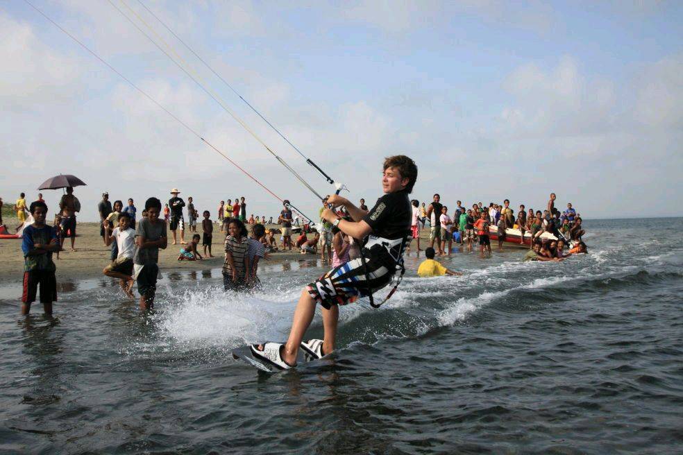
Can someone tell the little fella (huulaa ) he needs 2 move away from the swimmers
haha
Keahi where's the best spot gonna be on the Sunny coast for this one - I've heard Teatree can hold up to 12 foot ok but what's gonna work with wind+waves up there?
Who else is keen for a Saturday session on the Sunny coast?
Has me wondering how far off the mark the BOM may be for the weekend?
UPDATED
Tropical Waters, Cardwell to Bowen:
A gale warning is current.
Wednesday until midnight: SE 25/33 knots, reaching 30/40 knots at times offshore later this evening. Sea: 2.5 to 3.5 metres in open waters. Swell: SE 2.5 to 3 metres in open waters. Scattered showers.
Thursday: Wind: SE 25/33 knots, reaching 30/40 knots offshore. Lighter SW/SE winds inshore early. Sea: 3.5 metres in open waters. Swell: SE 3 metres in open waters. Scattered showers.
Friday: Wind: S/SE 25/33 knots, reaching 30/40 knots offshore. Winds dependent on location of Tropical Cyclone Ului.
Saturday: Wind: S/SW 30/40 knots, possibly tending SW 40/50 knots over southeastern waters. Winds dependent on location of Tropical Cyclone Ului.
www.bom.gov.au/products/IDQ65002.shtml
heading towards mackay, townsville area and is likely to intensify..
make sure u get fuel a day before it hits and check if you house is built for a cyclone.
Truly one of the most awesome things I've seen:
www.windfinder.com/forecasts/wind_eaustralia_animation.htm?utm_source=www.windfinder.com&utm_medium=web&utm_campaign=redirect