
July Southerly Surge: East Coast Bars Close

In short
A low deepening near New Zealand is driving 4-metre southerly swell to NSW and QLD coasts from Tuesday, closing bar crossings and making offshore conditions hazardous.
Sea surface temperatures are running 3-4°C above average off NSW - when the window opens mid-to-late week, expect pelagic action close in.
What to watch
A Bight High drifting east should bring a brief offshore window from Thursday - monitor swell direction as it swings east-northeast, signalling the system has passed.
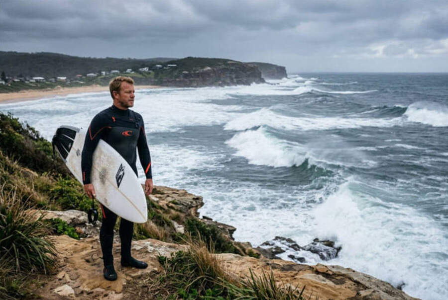
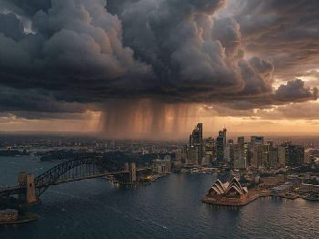
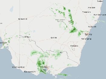
The east coast is under a significant southerly swell this week as a low deepens near New Zealand and drives fresh to strong southerly winds along the coast from Tuesday.
Forecasts show southerly winds of 20-25 knots, reaching 30 knots during Tuesday morning, with southerly waves building to 4 metres on Sydney coastal waters from Broken Bay to Port Hacking.
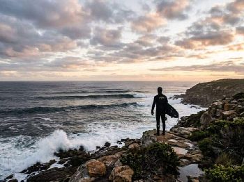
Further north, Byron Coast conditions are hazardous, with 2.5-3 metres inshore and 3-4 metres south of Cape Byron - conditions large enough to close most bar crossings for trailer boats and make rock platforms inaccessible.
"Large and powerful surf conditions are expected to be hazardous for coastal activities such as crossing bars by boat and rock fishing."
That is the BOM marine hazard statement issued for the NSW coast this week, covering conditions across all major estuary and harbour entrances from the NSW Far North Coast to the Illawarra.
The driver
The pattern is classic mid-winter: a high pressure system over the Bight strengthening and drifting east towards Tasmania, while a low deepens in the Tasman Sea near New Zealand.
The two systems together funnel fresh to strong southerly airflow straight up the coast, with the Tasman low generating the long-period southerly swell arriving mid-week.
At sea surface level, the current southerly flow is unusual in one respect - it is arriving on top of some of the warmest July ocean temperatures recorded off NSW.
Sea surface temperatures off the NSW coast are currently 3-4°C above average for July, according to BOM climate data, driven by a strengthening El Niño and the continuing Tasman Sea warm pool.
When this southerly surge clears, those warm waters are waiting.
For offshore fishers
Tuesday to Wednesday is not offshore weather - 4-metre southerly swell with 25-30 knot winds will keep most runabouts and trailer boats on the ramp.
The Bight High moving east should bring a brief window from Thursday, when northwesterly winds shift the swell direction and begin to subside from 4 metres towards 2-2.5 metres.
The warm SST anomaly matters here: 3-4°C above average water this close to shore in July is pushing baitfish schools - particularly yellowtail scad and pilchards - to shallower depths than is typical for winter.
When the window opens, pelagics are accessible closer to shore than typical winter ranges - the warm surface layer is sitting inside the 100-metre line.
The elevated SSTs favour pelagic activity well inside typical July ranges, with bait schools the key indicator - find the surface-breaking birds and the tuna will be below them.
For surfers
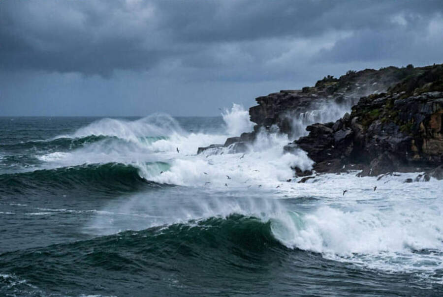
The NZ-generated swell is long-period south-southwest - punchier and more organised than a typical frontal swell.
Exposed ocean beaches are the go from Tuesday afternoon once the wind shifts more southerly and the swell direction aligns with beachbreaks facing south-southeast.
Manly, Maroubra, Cronulla, and the Illawarra headlands will see the full face of this swell - overhead to double overhead surf on exposed peaks through Tuesday and Wednesday.
Protected beaches facing northeast will have cleaner conditions with the southerly wind less onshore - Clovelly, Gordons Bay, and north-facing bays on the Central Coast are worth checking early.
For sailors and passage makers
Any coastal passage northward is best delayed to Thursday or later this week when the southerly eases and the Bight High brings lighter northwesterly conditions ahead of the next front cycle.
Sydney to Coffs Harbour or Brisbane runs have a narrow window Thursday into Friday before the next system begins to organise in the Southern Ocean.
Bar crossings at Swansea, Crowdy Head, Port Macquarie, and Coffs Harbour will remain closed until swell drops below 2.5 metres - monitor BOM forecasts before departure as the swell front may arrive earlier than expected on the northern end of the coast.
The week-ahead picture
The El Niño pattern continues to favour below-average rainfall and above-average temperatures across eastern Australia through July-September, according to BOM seasonal outlooks.
That means drier air between systems, clearer water as runoff stays minimal, and ocean temperatures staying elevated longer than normal winter patterns.
For the offshore fisher, the message is simple: wait out the southerly swell this week, watch for the direction shift to east-northeast that signals the NZ low has passed, then move.
The warm water off NSW is the best July ocean condition in several years - the fish are there, the window will come.
Frequently asked questions
When will conditions improve? guidance suggests the southerly easing from 4 metres towards 2.5 metres by late Thursday - bar crossings at exposed NSW entrances should be reassessed from Friday morning.
Why is the water so warm? The strengthening El Niño has reduced upwelling along the NSW coast and the Tasman Sea warm pool has persisted further south than average, pushing surface temperatures 3-4°C above July norms.
Is it safe to fish from rocks this week? No - a marine hazard for rock fishing, and the 4-metre southerly swell will produce hazardous wash on exposed platforms through Wednesday. Wait for conditions to ease.
Will offshore fishing be good when it clears? Yes - warm water, active bait schools, and pelagics holding closer to shore than typical July suggest a productive window when swell drops below 2.5 metres.
What should sailors check before a coastal passage? marine forecasts for each coastal zone, bar crossing reports for your departure port, and the forecast for the next front cycle - the current window is narrow.
Track the latest warnings and coastal forecasts via NSW Marine Warnings on Seabreeze and check your local Sydney wind forecast for updated conditions before heading offshore.

 Geraldton/Exmouth, WA