
Southerly Clears: Offshore Window Thursday

In short
A 3-4 metre southerly swell has closed NSW and QLD coastal bars through Wednesday, with Sunshine Coast waters under a Strong Wind Warning.
The Tasman high moves in Thursday, cutting winds and swell and opening the cleanest offshore window of July.
What to watch
A trough brushes the far south coast Friday - monitor the ridge as it tracks north to find when your local bar clears.
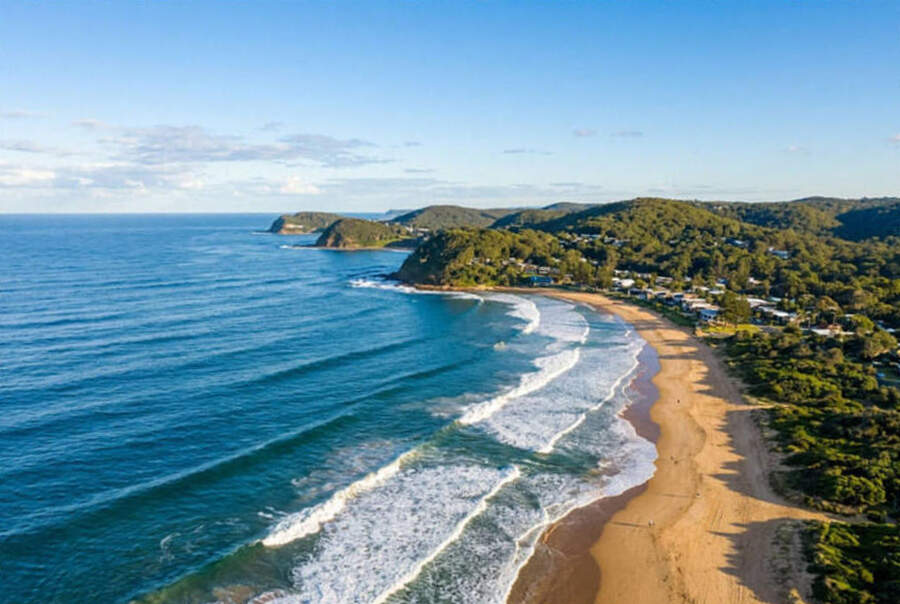
Large swell and closed bars have defined the first half of this week on the east coast.
A blocking high over Tasmania combined with a deepening low over New Zealand has pushed a sustained southerly fetch across the Tasman Sea since Monday.
Bureau of Meteorology forecasts issued Tuesday July 7 put southerly winds at 20 to 25 knots along Sydney coastal waters, with seas 2.5 to 3 metres and a southerly swell building to 3 metres during the afternoon.
Further north, Sunshine Coast waters carry a Strong Wind Warning, with southerly winds 25 to 30 knots and swell reaching 3 to 4 metres offshore.
The BOM forecast flags large and powerful surf conditions as hazardous for bar crossings and rock fishing along the entire NSW and southern QLD coast through Wednesday.
What is driving this
Two pressure systems working in tandem have produced a textbook winter east coast blocking pattern.
The Tasmanian high has acted as a brake on the westerly airflow, redirecting it north along the NSW coastline.
The NZ low deepened the pressure gradient, sustaining 20 to 30-knot southerlies from Byron south to the Illawarra through Wednesday.
This blocking high pattern is common in July, when polar air masses push north and interact with subtropical ridges at the southern end of the Tasman Sea.
The resulting fetch is long - winds blowing for hundreds of kilometres over open ocean before hitting the shelf break - which is why the swell period is long and the surf is powerful despite the source being relatively close.
"Large and powerful surf conditions are expected to be hazardous for coastal activities such as crossing bars by boat and rock fishing." - Bureau of Meteorology, Sydney Coastal Waters Forecast, 7 July 2026
The change from Thursday
The high begins moving east into the Tasman Sea from Wednesday night, pulling the pressure gradient off the coast.
As the high consolidates in the Tasman, a ridge of high pressure extends over the NSW coastal waters from Thursday morning.
Southerly winds drop back toward 10 to 15 knots, and swell tracks from 3 metres to 1.5 to 2 metres by Friday - most bars will be crossable on the rising tide from Thursday.
By Friday, the ridge covers northern NSW and south-east QLD, though a trough is forecast to brush the far south coast of NSW later in the day.
Southern NSW bars - Eden, Merimbula, Bermagui - may stay rougher longer if the trough holds its southerly wind component into Saturday morning.
Planning your offshore run
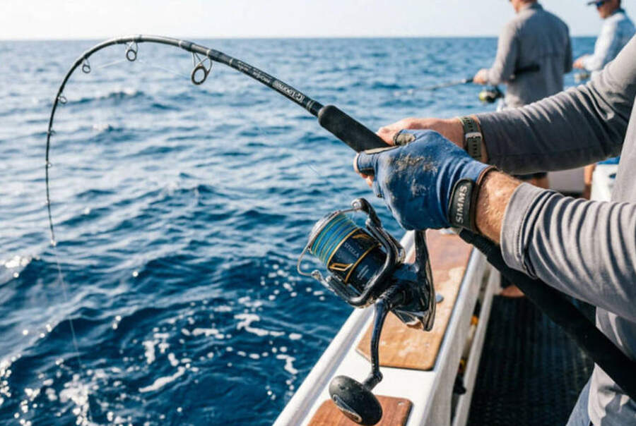
Central and northern NSW - Newcastle to Byron Bay - has the cleanest run, with the ridge in place from Thursday through at least Friday before conditions consolidate into the weekend.
Sunshine Coast and Gold Coast should follow a similar pattern, with southerly winds easing and swell dropping to 1 to 1.5 metres inshore by Thursday afternoon.
Port Macquarie and Coffs Harbour bars should be crossable on the morning tide Thursday - check the NSW Government webcams and local bar reports before leaving the ramp.
The Tweed and Brunswick bars, which often hold swell longer due to exposure to southern fetch, should clear by Thursday evening or Friday morning.
Why this window is worth planning around
Sea surface temperatures along the NSW coast are running 3 to 4 degrees above average for July, according to Bureau of Meteorology SST analysis for the week ending June 27 2026.
The global sea surface temperature anomaly for June 30 2026 reached plus 0.5 degrees - the highest value ever recorded for that calendar date, according to the EU Copernicus Climate Change Service.
That warm surface layer has pushed pelagic species further south than any normal July.
Yellowfin tuna have been reported in the 40 to 50-fathom zone off Sydney and the Hunter through June and into July.
Mahi-mahi and striped marlin are tracking well south of their normal winter grounds, following the warm eddy water pushed down the coast by the strengthening El Nino signal.
The Nino3.4 index sat at plus 1.24 degrees for the week ending June 28, well above the El Nino threshold of plus 0.8 degrees, and warming by 0.3 degrees over the previous fortnight.
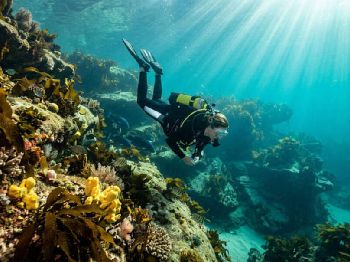
Divers will also find conditions improving fast after swell drops - the warm, stratified surface layer settles quickly, and visibility on Sydney and Hunter reefs typically returns to 10 to 15 metres within 24 hours of swell easing.
Looking ahead
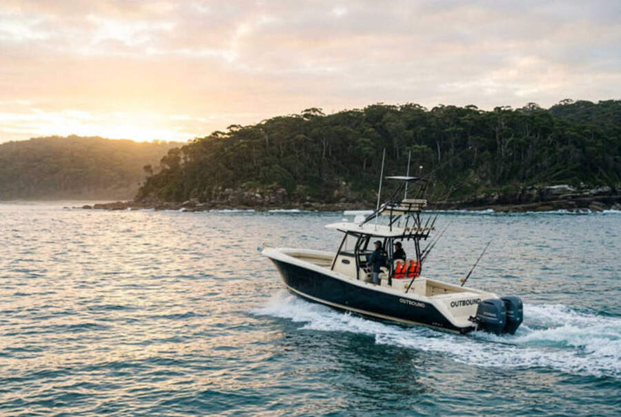
The current window may run 3 to 4 days before the next system begins tracking across the Bight.
A new frontal system is expected to cross the Bight over the weekend, potentially developing into another southerly event for early next week.
If Thursday to Sunday represents the main offshore window this week, plan your longest run for Friday when the ridge is most established and any residual swell from this week has fully eased.
Track conditions and bar updates on the NSW marine warnings page as the window develops.
What fishers and divers are asking
When can I cross Port Macquarie or Coffs bars? Thursday morning on the rising tide should be the first viable window - check live bar reports and webcams before you leave the ramp.
Will QLD offshore grounds fish on Thursday? The ridge should reach south QLD by Thursday afternoon - short runs to the 30-fathom grounds should be viable in the afternoon.
How long does the window hold? The ridge may persist through Sunday before the next front approaches, giving a 3 to 4-day window for east coast offshore trips.
What about diving off Sydney and Newcastle? Thursday afternoon and Friday will be the standout days - visibility should be exceptional in the warm, settled water after swell drops.

 Geraldton/Exmouth, WA