Seabreeze Launches Rain Radar for Australia
In short
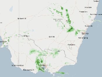
Seabreeze's new rain radar is a full-screen, all-of-Australia map experience built for people who actually need to know what's coming and when.
Smooth animation, clean UI, the whole country covered — this isn't radar bolted onto a weather page as an afterthought.
Try it
Open the radar at seabreeze.com.au/weather/rain-radar .
Most rain radar tools are an afterthought: a small animated loop squeezed into a corner of a weather page, pixelated, slow to load, and covering only the area immediately around your postcode.
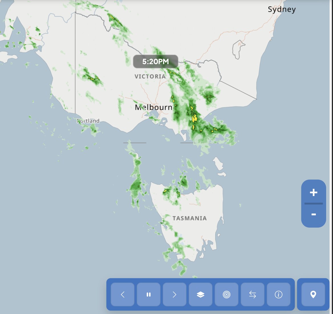
Seabreeze's new rain radar is built differently - a proper, full-screen map experience designed from the ground up for people who need to make real decisions based on what's coming.
Full-screen means full picture. A storm rolling in off the coast appears at the edge of the frame, not clipped by a widget boundary that cuts off anything more than 50 kilometres out.
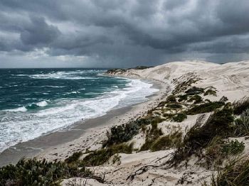
Coverage spans every corner of Australia: from the Kimberley to the southern coast, Cape York to Tasmania, with no gaps in the north-west where weather actually forms before it reaches populated coastlines.
The animation is smooth and readable - you can watch a system move in real time and judge its speed, direction, and intensity without squinting at a jumpy loop that drops frames between updates.
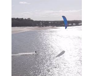
For sailors, fishers, and anyone else whose safety depends on knowing precisely when rain and squalls arrive, the difference between a tool designed to be used and one designed to exist is significant.
Open it at seabreeze.com.au/rain-radar .